There are 28 mountains of over three thousand metres in the Queyras
Summary
- A massif of the Hautes Alpes
- A long struggle against the mountains
- A protected mountain region
- Outdoor activities
A massif of the Hautes Alpes
The Queyras is an area in the Cottian range of the southern Alps. It is situated in the extreme east of the department of the Hautes-Alpes and on the border with Italy.
It comprises the basin of the river Guil, a left-bank tributary of the Durance, and it has four valleys (see the Panorama of the Queyras) :
- the Guil, with its villages (moving in order downstream) of Ristolas, Abriès, Aiguilles-en-Queyras and Château-Ville-Vieille,
- the Izoard or Arvieux valley, sloping down from the Col of the same name, with the village of Arvieux,
- tthe valleys of Aigues, Aigue Blanche and Aigue Agnelle, with Saint-Véran, the highest commune in Europe, and the village of Molines-en-Queyras,
- he valley of the Cristillan with the village of Ceillac.
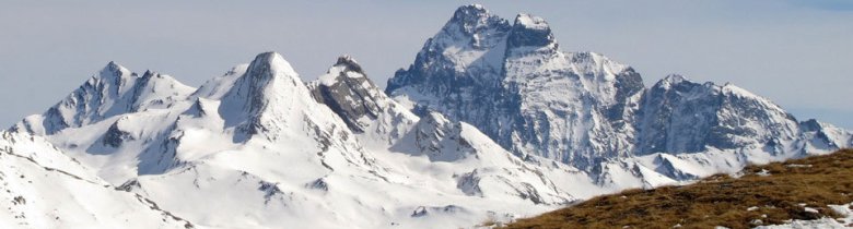
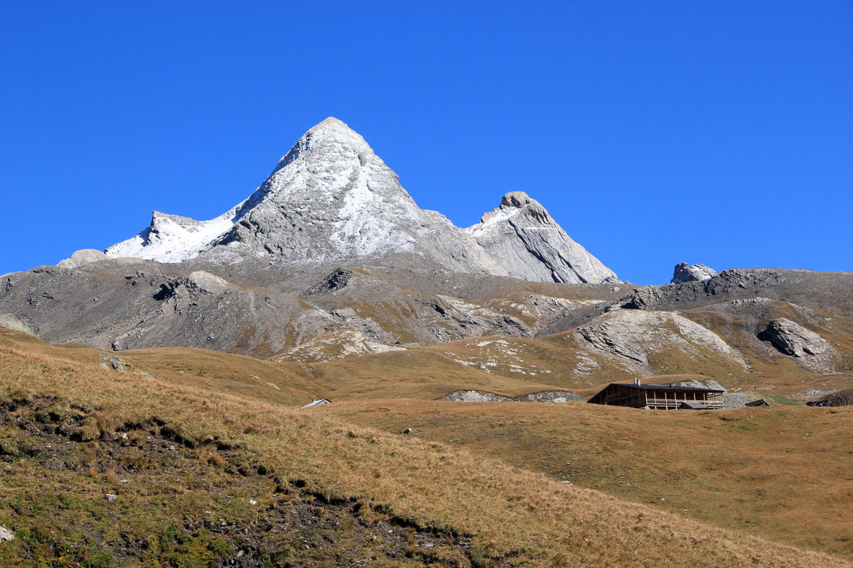
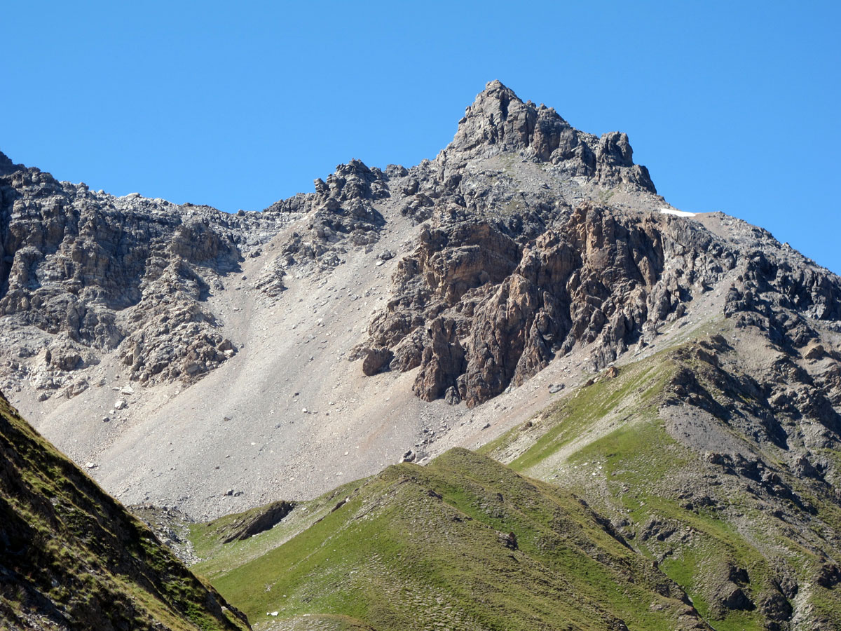
The highest mountain in the Queyras is the Pic de la Font-Sancte (3385 m) above Ceillac, on the edge of the Alpes-de-Haute-Provence. Then come the Pic de Rochebrune(3325 m) above Arvieux and the Bric-Froid (3302m) above Abriès. The Pain de sucre (Sugar-Loaf) and the Pic d'Asti above Ristolas, along with the Tête des Toillies above Saint-Véran, are all between 3175 and 3208m in height.
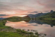
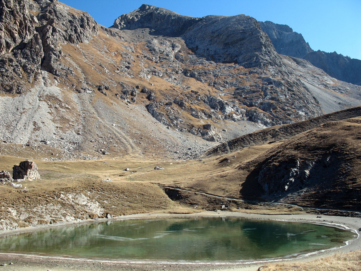
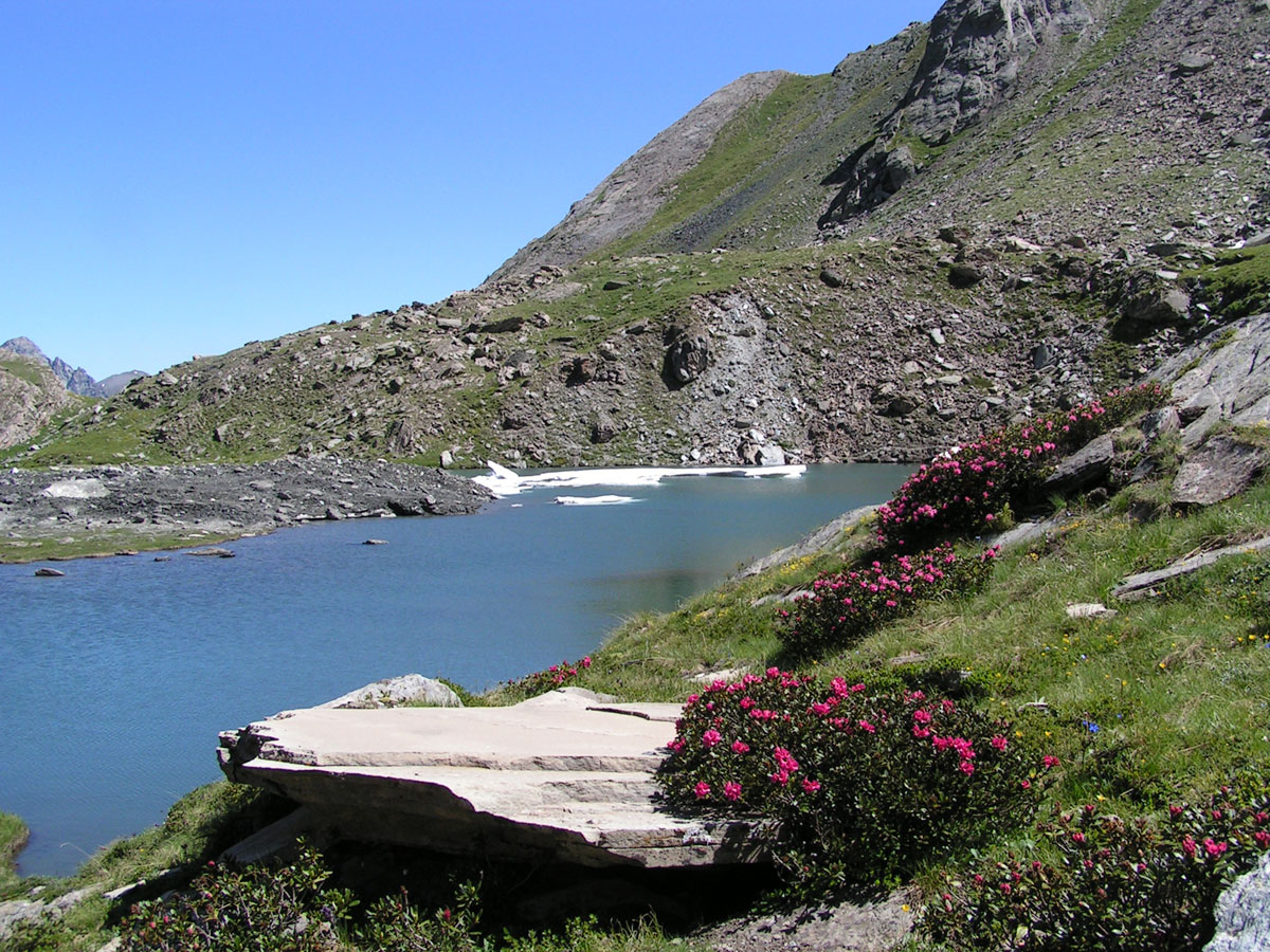
There are more than twenty lakes, in the Queyras, and above 2500m the water is exceptionally pure. Some are in a very grentle, welcoming setting, others are more forbidding. All are within hiking distance, like Lac de Clausis at Ceillac or Lac de Souliers at Château-Ville-Vieille.

The Queyras region buts up against Mont Viso (3841 m) the highest mountain in the southern Alps, with its summit in Italy. The Guil, and its big Italian brother, the Po, both rise on the flanks of Viso. Draining the waters of this massif, the Guil flows out of the Queyras towards the western Hautes-Alpes, breaching a limestone barrier and then being funnelled into impressive gorges along the road down to Guillestre. This is the only route that remains open in winter. The other two routes into the region, from Briançon (Hautes-Alpes) by the Col d'Izoard (2361 m) to Arvieux, and from Italy by the Col Agnel (2744 m) to Molines-en-Queyras, are closed by snow from November to May.
A long struggle against the mountains
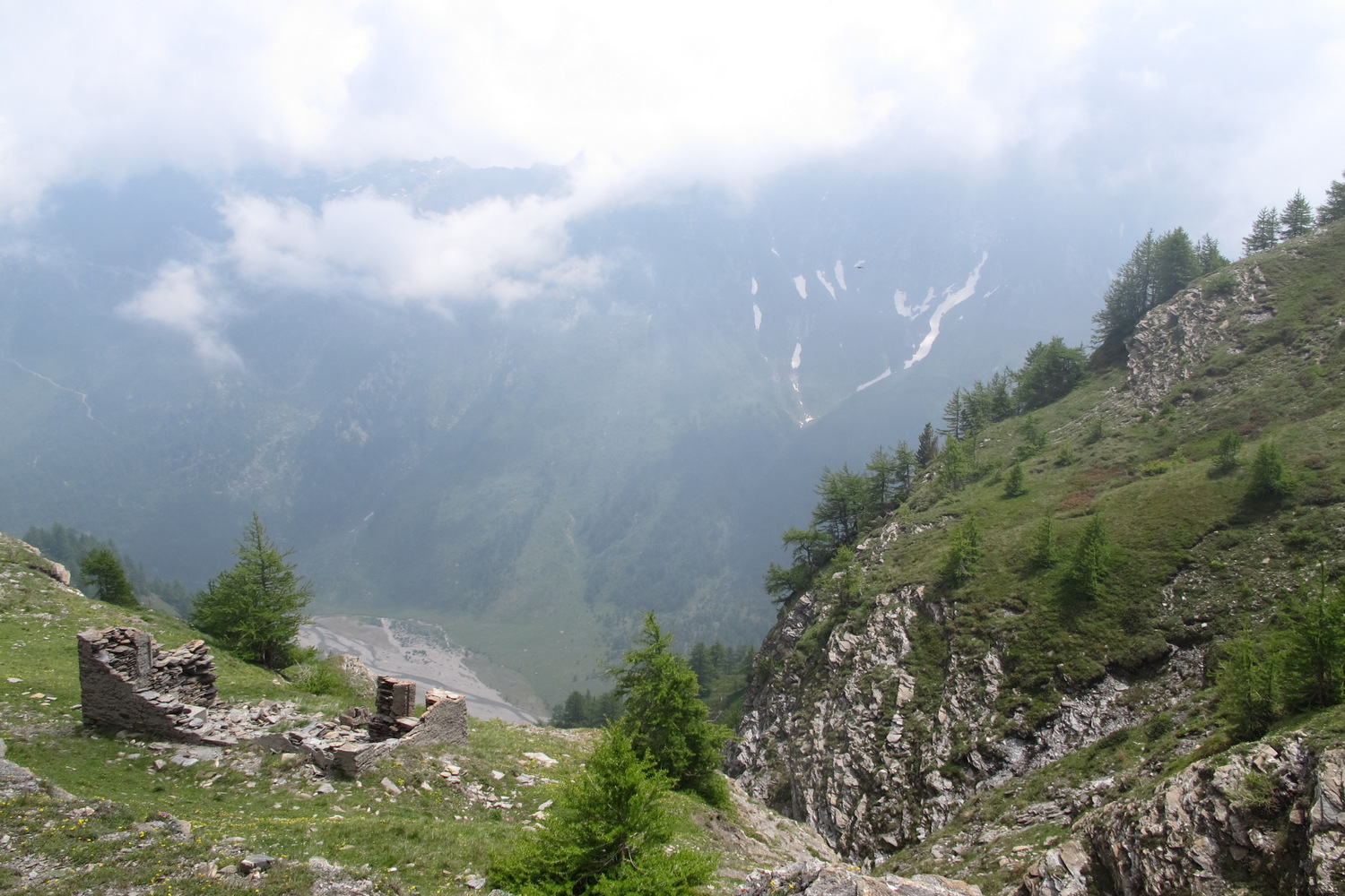
The history of the Queyras is one of a long struggle against the mountains: against avalanches that crush houses and forests, against drought in summer, and the devastating flash-floods of mountain torrents which regularly sweep away paths, bridges and walkways. For many years communications between the Queyras and the town of Guillestre took the form of paths along the steep sides of gorges - their remains can still be seen.

For these reasons, Queyras people found it easier to trade with other regions by going over mountain passes such as Col Garnier (2279 m) from Arvieux to Guillestre, the Col des Ayes (2477 m) from Arvieux to Briançon (still in the Hautes Alpes at 2299m), Col Lacroix (2299 m) from Ristolas to Val Pellice in Italy, or Col Girardin (2706 m) from Ceillac towards l'Ubaye and Barcelonnette in the Alpes-de-Haute-Provence.
The opening of roads over the Col d'Izoard above Arvieux, towards Briançon, and the Col Agnel above Molines-en-Queyras, towards Italy, have since opened up the Queyras.
A protected mountain region
The isolation of the Queyras has helped to preserve its rural character and shield it from the effects of industrialisation. Nowadays it is a unique region in the Hautes-Alpes and the southern Alps in general, owing to the beauty of its high mountain landscapes, its geology, the richness of its mountain flora (orchids in particular) and the variety of its wildlife, which the Queyras Regional Natural Park strives to protect, at the same time as it supports normal human activity. The Queyras has kept its traditions longer than other regions; and out of all the communes, it is perhaps Arvieux which has best preserved its customs, because it was cut off until 1897 when the Col d'Izoard road was opened.
Outdoor activities
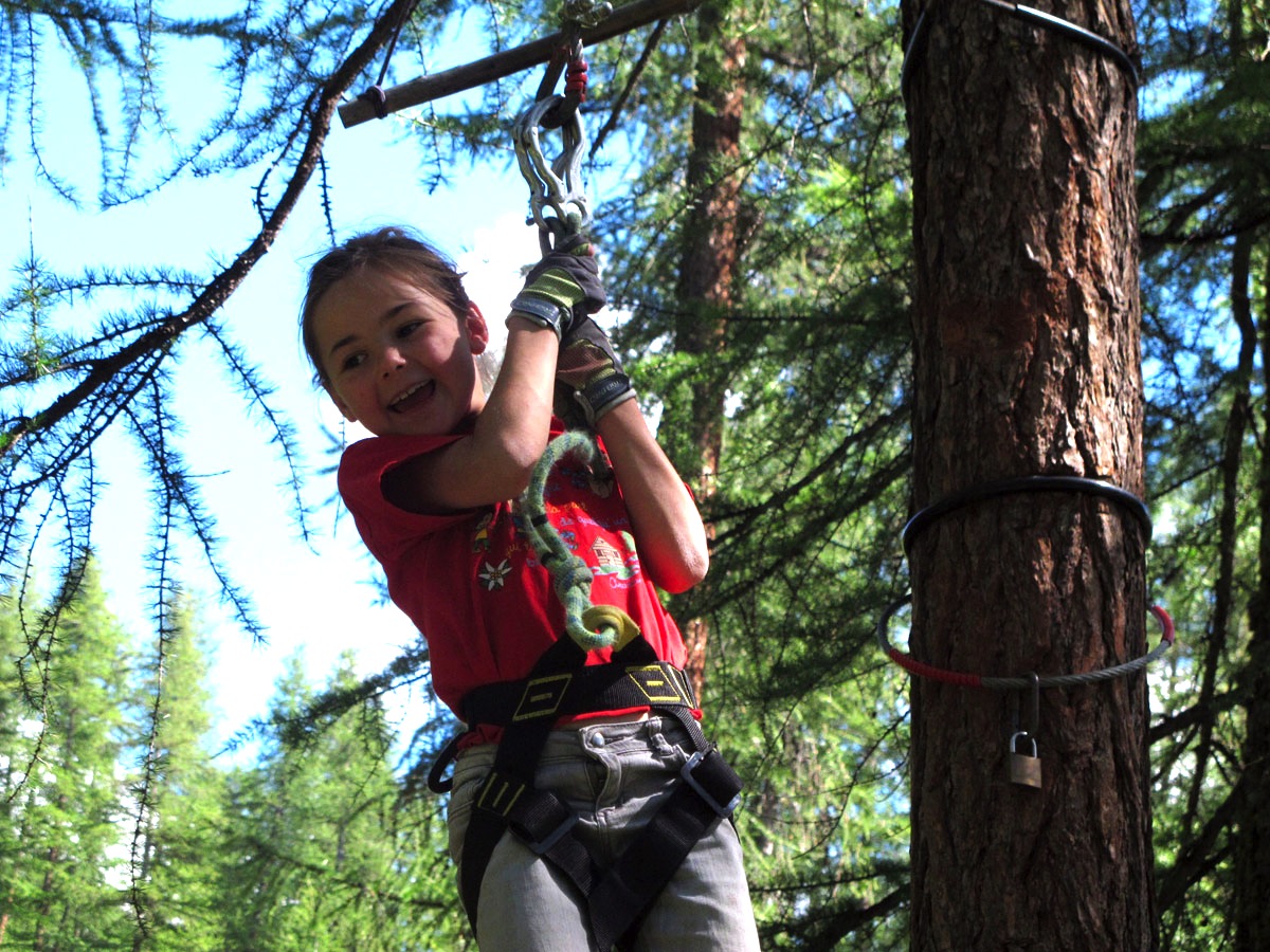
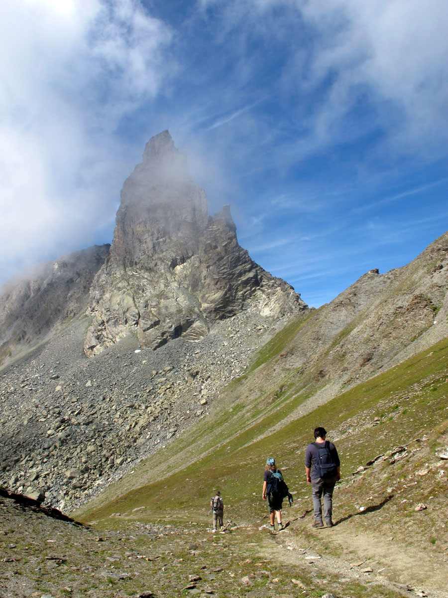
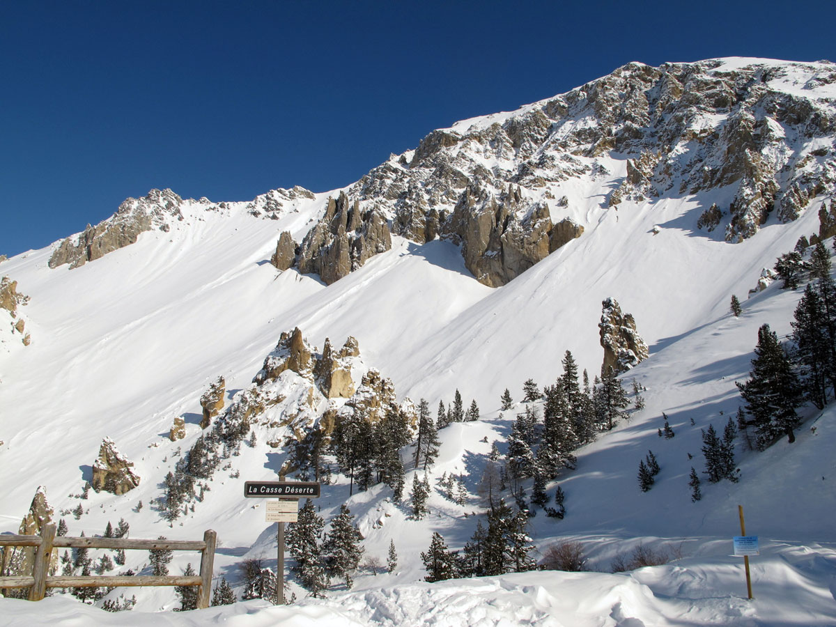
Long treks either on foot or on skis, are the most popular activity in this protected natural landscape. There is great variety - mountain lakes to visit, passes and summits to climb. You can tailor your outdoor activity to your strength and skills. Downhill skiing, canyoning, snow-shoeing, ice-climbing, via ferrata and treetop obstacle courses – these are all ways to get close to nature.
Land of emotion, land of tradition, land where nature’s richness has been preserved, the Queyras is also a place for holidaying in the mountains. With the development of tourism it has opened up its houses, transformed its vaulted barns, and refurbished its haylofts to welcome holidaymakers. Queyrassins have constructed ski-lifts, financing the first ones with their own money, so that their guests can go skiing in village-size resorts where waiting-times are short.