Hiking in the Queyras
Summary
- The Queyras – a hikers’paradise
- Long distance hiking paths
- Grande Randonnee No. 5, Ceillac to Arvieux
- Other paths
- Mines and canals
The Queyras – a hikers’paradise
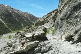
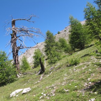
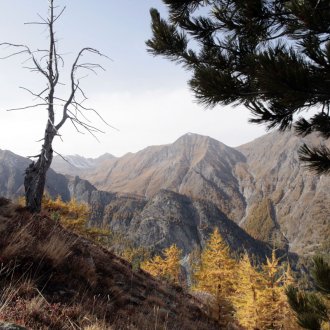
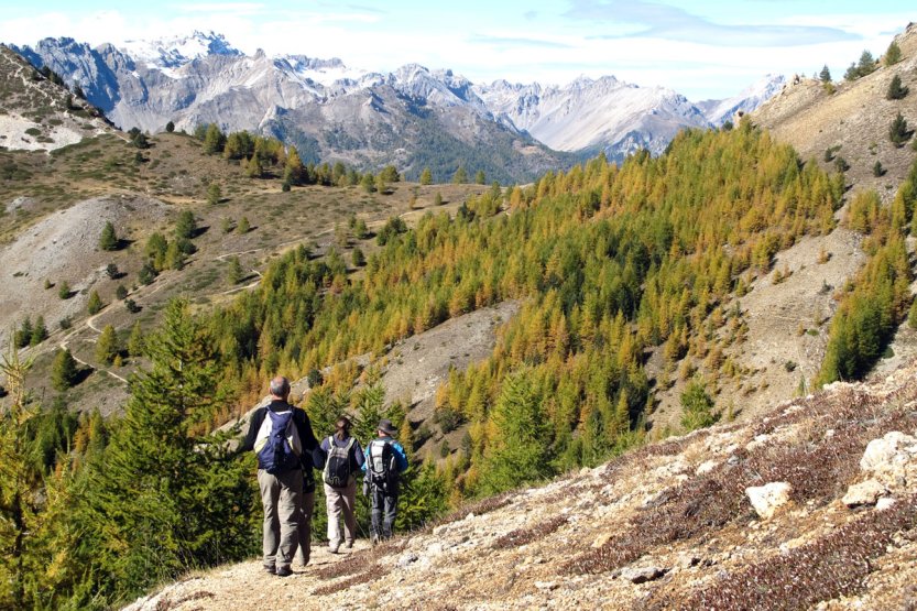
Whether you are an experienced hiker or a novice, whether adult or child, whether you want a week’s hike or an afternoon’s stroll, the Queyras this jewel in the Hautes Alpes, offers paths, lakes to sit beside, alpine passes to cross, montains to climb, paths in the valley bottoms or along their sides following irrigation canals.
Long distance hiking paths
The Queyras gives you the GR 5 (“Grande Randonnée” No.5), the long distance path known as “Hollande – Mediterranee”, which goes from the Col Girardin at Ceillac, via Chateau-Ville-Vieille, to the Col des Ayes in the Arvieux valley. There is the GR58, the “Tour du Queyras”, which you can do in one go, or in stages, using cars at pick-up points.
From Ceillac (1,640m), the GR58 takes you in turn to the Col de Bramousse (2,251m), the Col de Furfande (2,500m) with its wonderful alpine chalets, the Col Tronchet (2,347m), the Col de Péas (2,629m), where you leave the Queyras for a side visit to the Fonts de Cervieres, a pretty hamlet in the Briançon region of the Hautes Alpes. It continues over the Col de Malrif (2,830m), the Col Vieux (2,806m) and the Col des Estronques (2,651m). You’ll go through Ceillac, Arvieux, Abriès, Ristolas and Saint-Veran but you will only skirt the villages of Aiguilles, Chateau-Ville-Vieille and Molines. All these villages can be stopping off points on your hike.
Grande Randonnee No. 5, Ceillac to Arvieux
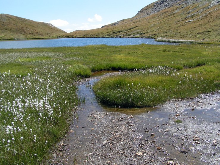
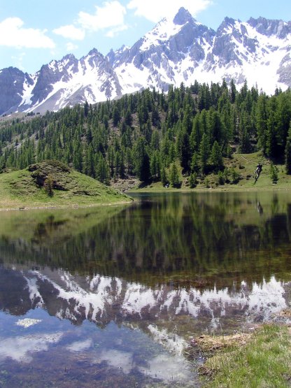
“….the path from Saint-Paul sur Ubaye has been very, very long. Fortunately, there was a very obliging motorist. And then that climb in the afternoon sun to Col Girardin 2,714m where you discover the Queyras and the Hautes Alpes. But you see Lac Sainte-Anne (2,415 m) and the chapel above it. It’s a welcome view. You stop for a moment, taking the time to catch your breath but also to admire this lake cradled in the mountains. A few minutes later it’s the turn of Lac Miroir (2,214 m), truly a jewel in its setting. Font Sancte, se mire avec coquetterie dans le lac Miroir is mirrored prettily in Lac Miroir. Then I realise that I’ve arrived in the Queyras. I’ve been travelling through Mercantour for several days on the GR5. I’ve seen fantastic views but if you want a place that fills you with calm and peace, then this is it. It would be fine to linger, make camp, watch the stars appear, count the planets, sing, recite poems….but my rucksack is empty, and I have to hike down to eat.
Ceillac (1,640m), Col Fromage 2,301m), the descent into Chateau-Ville-Vieille by a path bordered with graceful columbines. At a bend Fort-Queyras , (1,350m), appears, a stone watchtower on the bank of the Guil. How impressive it is! It gets bigger as we descend. Take your hat off to Vauban and carry on for Lac de Roue. Down through larches towards Arvieux. The sun filters between the trees and the flowers in the grass stir and whisper “Stay here with us!”
Arvieux, the last campsite, and it’s the climb up by Pra Premier – would you ever have imagined a flat plain like this surrounded by peaks – to the Col des Ayes (2,477m) where the eagle of Baudouis slowly circles.
Wishing that you could gaze forever on this dream of a view, you go down towards Briançon.
Farewell Queyras! I won’t forget you!”
An excerpt taken from “From Sospel to Briançon – a Hiker’s Journal”
Other paths
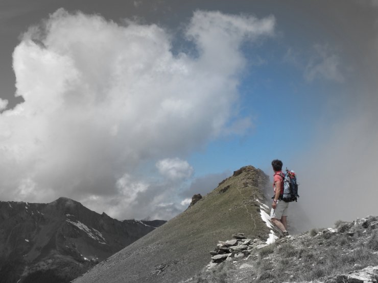
You have a wide choice. You just have to choose your destination, whether it’s a lake – the Lac de Clausis at Ceillac, Lacs Néal at Arvieux, lake Souliers à Château Ville Vieille, Malrif lakes at Abriès, Lake Foréant and Egorgéou at Ristolas, Lake Blanchet at Saint Véran... ou un col - Col Lacroix (2,299 m) above Ristolas, Col de la Crèche (2,284 m) above Château-Ville-Vieille, Col d’Urine (2,525m) beyond Valpréveyre (Abriès).
And when you’re at a col, why not go for the summit? For sure, there are 28 over 3,000m, but there are many others that are very accessible – like La Gardiole de l'Alp (2,786 m) at Molines Le Pic du Gazon (2,744m) overlooking the chalets de Furfande at Arvieux, Côte Belle (2,854 m) and Clot la Cime (2,732 m) on either side of the Col d'Izoard at Arvieux etc...
Mines and canals
You can hike up to see the remains of the asbestos mine at the head of the Péas valley in Chateau-Ville-Vieille, or of the former copper mine at the Chapelle de Clausis near Saint Veran; the latter is the best preserved in the Hautes Alpes.
If the children are tired of always climbing, take them for a short walk near Lac de Roue, along the Souliers canal. Let them look at the masses of flowers and watch how the water flows.
Queyras, a hiking paradise
Whether you're a seasoned hiker or just a beginner, whether you're an adult or a child, whether you're looking for a week-long hike or a half-day stroll, Queyras, the jewel in the crown of the Hautes Alpes, offers you its trails, its lakes to contemplate, its passes to cross, its mountains to climb, its walks in the valley bottoms or on the hillsides along its watering canals.
Long-distance hiking trails in the Queyras
The Queyras offers you the GR 5, the "Holland-Mediterranean" long-distance hiking trail which, coming from the Alpes de Hautes Provence, crosses it from the Col Girardin at Ceillac to the Col des Ayes at Arvieux, passing through Château-Ville-Vieille, and the GR 58 "Tour du Queyras", which you can do in one go in a week, or in sections by organizing car relays.
If you set off from Ceillac (1,640 m), the GR 58 will take you in turn to the Col de Bramousse (2,251 m), the Col de Furfande (2,500 m) with its delightful alpine chalets, the Col Tronchet (2,347 m), the Col de Péas (2,629 m), where you leave the Queyras for a foray to Les Fonts de Cervières, a charming hamlet in the Briançonnais region of the Hautes Alpes, the Col de Malrif (2,830 m), the Col Vieux (2,806 m) and the Col des Estronques (2,651 m). You'll pass through Ceillac, Arvieux, Abriès, Ristolas and Saint-Véran, leaving behind Aiguilles, Château-Ville-Vieille and Molines. Each of these villages can be the starting or finishing point of your hike.
Hiking on the GR 5, from Ceillac to Arvieux
[...] It was a long, long way from Saint-Paul sur Ubaye. Fortunately, there was that complaisant motorist. And then that climb in the afternoon sun to the Col Girardin (2,714 m), from where you can see the Queyras and the Hautes Alpes. You can also see Lac Sainte-Anne (2,415 m) and the chapel overlooking it. The view is refreshing. We stop here for a moment, not only for a bite to eat of course, but also to admire the purity of the water set in the mountains. A few moments later, we come to Lac Miroir (2214 m). A jewel in its crown! The Font Sancte mountain shimmers coquettishly in the lake (yes, yes, I saw it with my own eyes!). So I understand that I've arrived in the Queyras. A few days ago I crossed the Mercantour on the GR 5. I've seen some superb scenery, but only here can you find such a site that exudes calm and serenity. You could linger, bivouac, let the stars light up one by one, count the planets, sing laments, say verses... but your bag is empty and you have to go down for dinner.
Ceillac (1640 m), the Col Fromage (2301 m), the descent to Château-Ville-Vieille with its path where the columbines gracefully bend down to greet us. Along the way, we come to Fort-Queyras (1350 m ), a stone sentinel on the banks of the Guil. How beautiful! It grows as we descend. A tip of the hat to Vauban and we're off again for Lac de Roue. Descent via the mélèzin to Arvieux. The sun plays through the trees, and the flowers on the lawn stand on their stalks and whisper "Stay with us!
Arvieux, the last bivouac at Le Planet, and then it's up via Pra Premier - how can you imagine this plain amidst the peaks? -to the Col des Ayes (2,477 m), where the Baudouis eagle slowly turns.
One more look at this dreamy landscape, and we're off to Briançon.
Farewell Queyras, I won't forget you! [...]
From Sospel to Briançon - A hiker's logbook
Other hiking trails
You'll find a multitude of them. All you have to do is choose your destination, whether it's a lake: Lac de Clausis in Ceillac, Lac Néal in Arvieux, Lac de Souliers in Château Ville Vieille, Lac de Malrif in Abriès, Lac Foréant and Lac Egorgéou in Ristolas, Lac Blanchet in Saint Véran.... or a pass: Col Lacroix (2,299 m) from Ristolas, Col de la Crèche (2,284 m) above Château-Ville-Vieille, Col d'Urine (2,525 m) beyond Valpreveyre (Abriès). And when you reach the pass, why not try a summit? Of course, 28 of them are over 3,000 m, but there are plenty of others within easy reach, such as the Gardiole de l'Alp (2,786 m) at Molines en Queyras, the Pic du Gazon (2,744 m) overlooking the Furfande chalets at Arvieux, Côte Belle (2,854 m) and Clot la Cime (2,732 m) on either side of the Col d'Izoard at Arvieux etc...
Mines and canals in Queyras
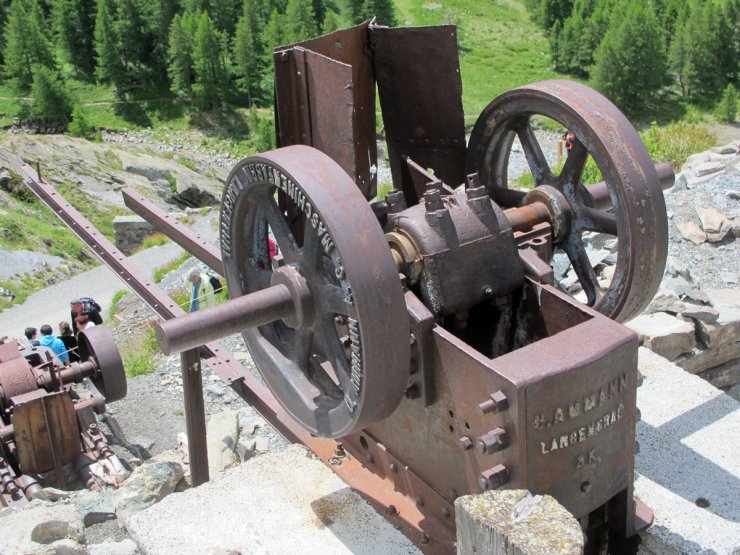
On a hike, you can visit the remains of the asbestos mine at the bottom of the Péas valley in Château-Ville-Vieille, where you can pick up some samples, or those of the old Saint Véran copper mine, perhaps the best preserved in the Hautes Alpes, at the Clausis chapel.
And if your children are tired of climbing too much, you can take them for a little stroll near the Lac de Roue, along the Canal de Souliers at Château-Ville-Vieille, amidst the flowers jostling each other to watch the water flow, or a stroll along the Canal de Rouchas Frach at Molines en Queyras, which over 8 km abounds in points of interest.
